Viky
Location:
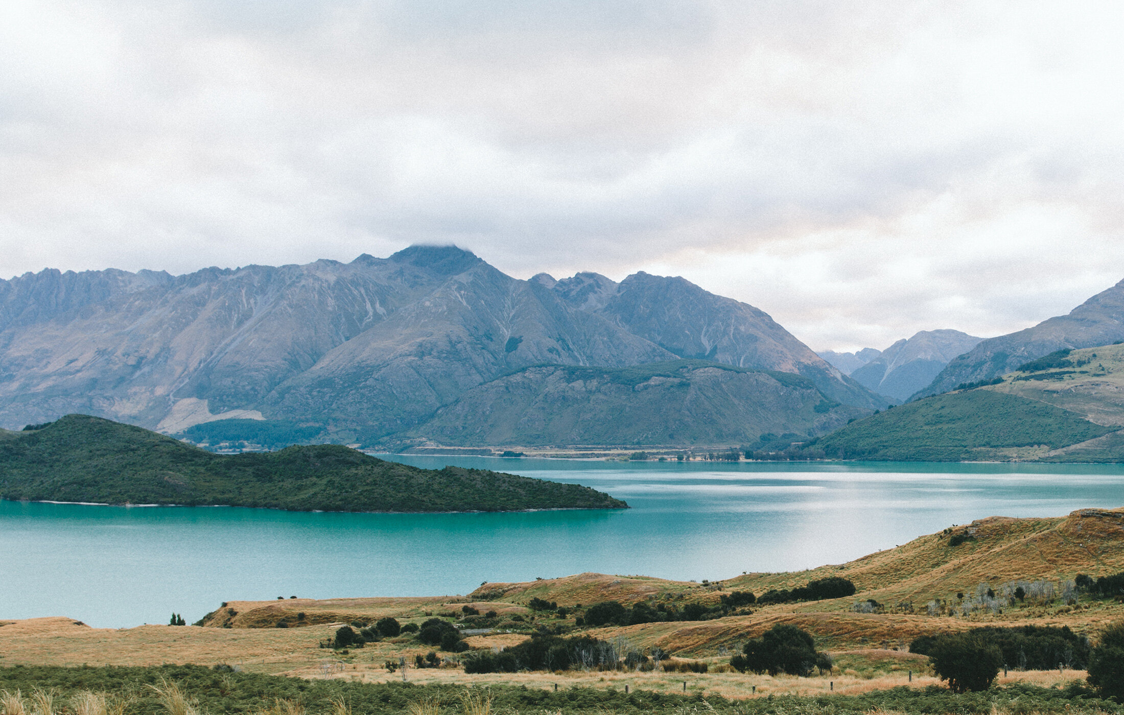
Coahuila, Mexico
Mineral:
Gold /Silver
Overview
During a 2005 regional exploration program in Central Mexico, Almaden identified an area of limestone-hosted alteration and mineralization in western Coahuila State, now known as the Viky Project. The 100% Almadex-owned 11,000 hectare claim covers an area of geology and alteration which has the potential for silver, lead, and zinc mineral deposits.
Geology
The Viky Project is one of several prospective Carbonate Replacement Deposits (CDRs) identified during regional helicopter-borne prospecting programs.
These properties are located within a major geological belt hosting silver, lead, zinc, copper and gold skarn as well as CRD deposits extending from Arizona to central Mexico. Several world-class silver-zinc-lead deposits are located within the belt, including the giant San Martin deposit in Zacatecas which is currently producing ores grading approximately 120 g/t Ag, 1% Cu, 4% Zn and 0.5% Pb.
The Viky prospect covers an area of replacement silicification which has developed in folded and deformed thinly bedded limestone. Eight samples of altered limestone returned silver values as high as 247 g/t and averaging 102 g/t, lead values as high as 12.9% and averaging 4.3%, zinc values as high as 0.16% and averaging 0.04% and significant copper and other indicator metals typical of a silver-rich carbonate replacement style geologic environment.
Carbonate replacement lead-silver-zinc deposits (CRD) are high-grade sulphide ore deposits that form in carbonate sedimentary rocks, particularly limestones. CRDs usually form vertically elongated or pod-like ore bodies that are referred to as mantos or chimneys. The large size of these deposits (averaging 10-13 million tonnes to over 50 million tonnes) and the high grades (ranging from 2-12% lead, 2-18% zinc, 60-600 g/t silver, up to 2% copper and up to 6g/t gold) make them extremely desirable targets to discover.
History
In 2007, Lajas was optioned to Apex Silver. Summer work took 363 rock samples. Of these 71 were rock channel samples taken over an average width of 2.21 meters. These samples returned an average of 9.4 g/t silver (ranging from <0.2 to 153 g/t silver), 0.42% lead (ranging from <0.0002 to 11.4 % lead) and 0.38% zinc (ranging from <0.0002 to 5.79 % zinc).
In addition, 195 rock-chip samples were taken over an average width of 2.90 meters, which returned an average of 16.5 g/t silver (ranging from <0.2 to 776 g/t silver), 1.22% lead (ranging from <0.0002 to 30.00% lead) and 0.53% zinc (ranging from <0.0002 to 14.35% zinc). These significant results are interpreted to be indicative of a high potential mineralized environment. A drill program is currently being planned.
Summer 2006: Almaden conducted an exploration program consisting of geological mapping, soil & rock sampling and induced polarization (IP).
1,175 soil samples were taken over the claim area identified two main zones of highly anomalous silver, zinc, and lead values over areas where the altered and mineralized intrusive rocks are exposed and where high chargeability results (highed than 50mV/V) have been recorded at surface.
The IP geophysical survey was carried out on twelve lines spaced 200 metres apart. The survey indicated that the exposed mineralization represents a portion of a much large ore body characterised by an elevated chargeability response anomaly that is open in three directions and increasing in tenor with depth.
The highest silver values (shown in dark red) from the soil sampling program were taken from the northern and southern ends of the anomaly. These two exciting zones are connected by the IP chargeability anomaly (shown in grey) with the highest IP results occuring directly underneath the highest soil samples taken at surface. These two areas are highly prospective drill targets.
See map below for the soil and IP results along line 89900.